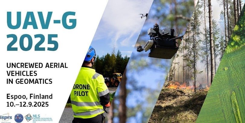
UAV-g 2025 Uncrewed Aerial Vehicles in Geomatics
Uncrewed Aerial Vehicles in Geomatics (UAV-g) is an international workshop aimed at presenting and discussing the scientific and technological advancements of UAVs and their applications in geomatics. Since 2011, UAV-g has been held biennially. UAV-g is sponsored by the International Society for Photogrammetry and Remote Sensing (ISPRS).
UAV-g 2025 will not be limited to aerial platforms. Instead, scientific contributions covering the full range of unmanned platforms (UXVs) are welcomed to the event.
The 7th UAV-g will be held from September 10th to 12th, 2025. We will also organize a parallel FinDrones conference. Read more about FinDrones here.
Call for papers for the scientific program is now open. Read more and submit your paper here.
Unmanned Aerial Vehicles in Geomatics (UAV-g) is an international workshop aimed at presenting and discussing the scientific and technological advancements of UAVs and their applications in geomatics. Since 2011, UAV-g has been held biennially. UAV-g is sponsored by the International Society for Photogrammetry and Remote Sensing (ISPRS).
UAV-g 2025 will not be limited to aerial platforms. Instead, scientific contributions covering the full range of unmanned platforms (UXVs) are welcomed to the event.
The 7th UAV-g will be held from September 10th to 12th, 2025.
Themes
- Uncrewed Aerial Vehicles (UAV) and other Uncrewed platforms (UXV)
- Autonomous navigation and path planning
- Innovative active and passive sensors onboard autonomous platforms
- Deep learning, Machine learning, GeoAI
- Edge and cloud computing
- Big data processing
- Beyond Visual Line of Sight (BVLOS)
- Applications – not an exhaustive list
- Mapping and Geospatial data
- Environmental Monitoring, Forestry, Agriculture, Infrastructure, Hydrology
- Intelligent Urban Geospatial Information and Smart City
- Emergency Management
- Cultural Heritage
Venue
Dipoli, Otakaari 24, 02150 Espoo, Finland
Important Dates
- Abstract/Full paper submission deadline: 30 March, 2025
- Camera ready manuscripts deadline: 15 June, 2025
- Early Bird Registration deadline: 15 June, 2025
Organizers
International Society for Photogrammetry and Remote Sensing (ISPRS) together with the Finnish Geospatial Research Intitute FGI.
Contact