
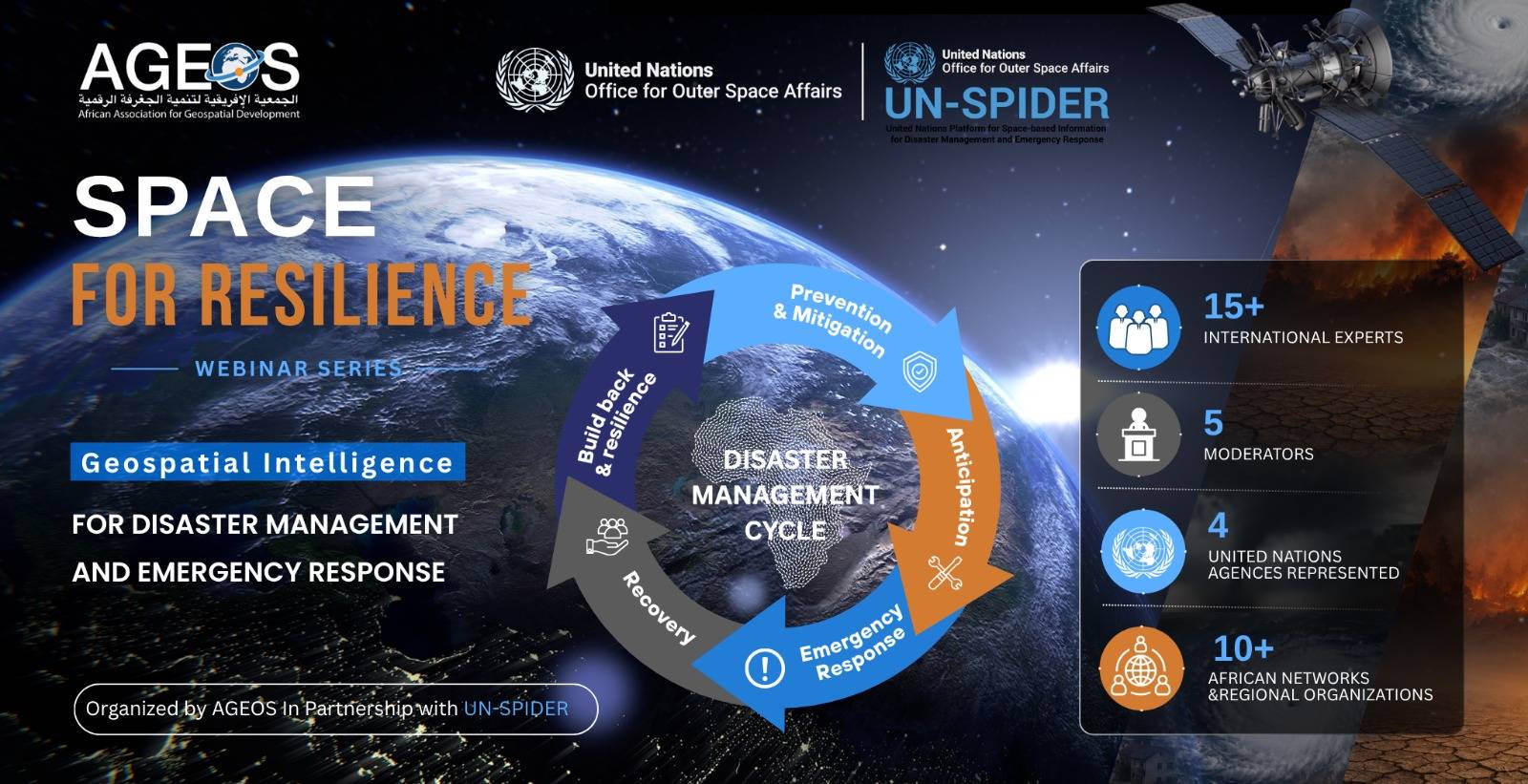
Webinar series: 𝗦𝗽𝗮𝗰𝗲 𝗳𝗼𝗿 𝗥𝗲𝘀𝗶𝗹𝗶𝗲𝗻𝗰𝗲 – 𝗚𝗲𝗼𝘀𝗽𝗮𝘁𝗶𝗮𝗹 𝗜𝗻𝘁𝗲𝗹𝗹𝗶𝗴𝗲𝗻𝗰𝗲 𝗳𝗼𝗿 𝗗𝗶𝘀𝗮𝘀𝘁𝗲𝗿 𝗠𝗮𝗻𝗮𝗴𝗲𝗺𝗲𝗻𝘁 𝗮𝗻𝗱 𝗘𝗺𝗲𝗿𝗴𝗲𝗻𝗰𝘆 𝗥𝗲𝘀𝗽𝗼𝗻𝘀𝗲
🌍🛰️ What role can Earth Observation and geospatial intelligence play in strengthening disaster resilience across Africa?
This is the focus of the 𝗻𝗲𝘄 𝘄𝗲𝗯𝗶𝗻𝗮𝗿 𝘀𝗲𝗿𝗶𝗲𝘀 “𝗦𝗽𝗮𝗰𝗲 𝗳𝗼𝗿 𝗥𝗲𝘀𝗶𝗹𝗶𝗲𝗻𝗰𝗲 – 𝗚𝗲𝗼𝘀𝗽𝗮𝘁𝗶𝗮𝗹 𝗜𝗻𝘁𝗲𝗹𝗹𝗶𝗴𝗲𝗻𝗰𝗲 𝗳𝗼𝗿 𝗗𝗶𝘀𝗮𝘀𝘁𝗲𝗿 𝗠𝗮𝗻𝗮𝗴𝗲𝗺𝗲𝗻𝘁 𝗮𝗻𝗱 𝗘𝗺𝗲𝗿𝗴𝗲𝗻𝗰𝘆 𝗥𝗲𝘀𝗽𝗼𝗻𝘀𝗲”, organized by AGEOS, one of UN-SPIDER’s Regional Support Offices, in partnership with UN-SPIDER.
🌍 Join us to explore how geospatial intelligence, Earth Observation and space-based technologies can support the five key stages of the disaster management cycle, from prevention and preparedness to emergency response, recovery and reconstruction.
🌐 The series will bring together international experts, alongside representatives from UN agencies, leading institutions and African space agencies, to share operational experiences, innovative approaches and lessons learned.
📅 𝗟𝗮𝘂𝗻𝗰𝗵: 𝟭𝟯 𝗢𝗰𝘁𝗼𝗯𝗲𝗿 𝟮𝟬𝟮𝟲, on the occasion of the International Day for Disaster Risk Reduction
📆 𝗢𝗰𝘁𝗼𝗯𝗲𝗿 – 𝗗𝗲𝗰𝗲𝗺𝗯𝗲𝗿 𝟮𝟬𝟮𝟲
🛰️ 𝟱 𝘄𝗲𝗯𝗶𝗻𝗮𝗿𝘀, 𝗵𝗲𝗹𝗱 𝗲𝘃𝗲𝗿𝘆 𝘁𝘄𝗼 𝘄𝗲𝗲𝗸𝘀:
13 October
27 October
10 November
24 November
8 December
⏰ Always at 𝟮:𝟬𝟬 𝗽.𝗺. (Tunis time, UTC+1)
💻 Online
🔗 Register for free via the link: https://arcg.is/0e5CC13