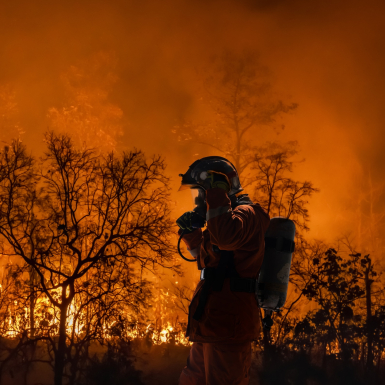
WEBINAR: ‘Wildfires’
Register now to join us as we introduce a new Thematic Call for Proposals: ‘Wildfires’.
We’re calling for your ideas for services that use space technology and data to improve wildfire management, focussing on wildfire response and solutions to advance early detection of wildfires, near-real-time fire evolution monitoring and fire behaviour simulation and prediction.
Satellite data and technology must play a critical role in your proposed solution. Areas of interest include, but are not limited to:
🔸 Satellite Earth observation for mapping and monitoring of active fires, burn scars, vegetative health, risk factors and vulnerable infrastructure.
🔸 Satellite positioning to guide aerial platforms (drones and aircraft) for fire monitoring and suppression, geo-referencing of data collected from aerial platforms and in-situ sensors.
🔸 Satellite communications to provide connectivity to distributed in-situ sensors across a region, as well as communication links for aerial platforms.
📌 This opportunity is due to open in early March 2026.
Find full details and register for the webinar ➡️ https://lnkd.in/eKVZGM5r